
How can we help you?
Search our knowledge base for guides, tutorials, and common questions.
New step-by-step guides
Screenshots from the Studio at every step.
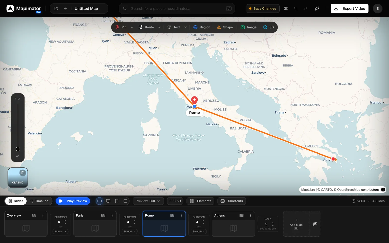
Studio Interface Overview: A Tour of the Editor
5 min read
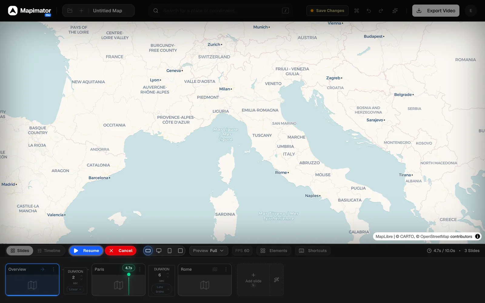
Set Camera Speed and Easing Between Slides
5 min read
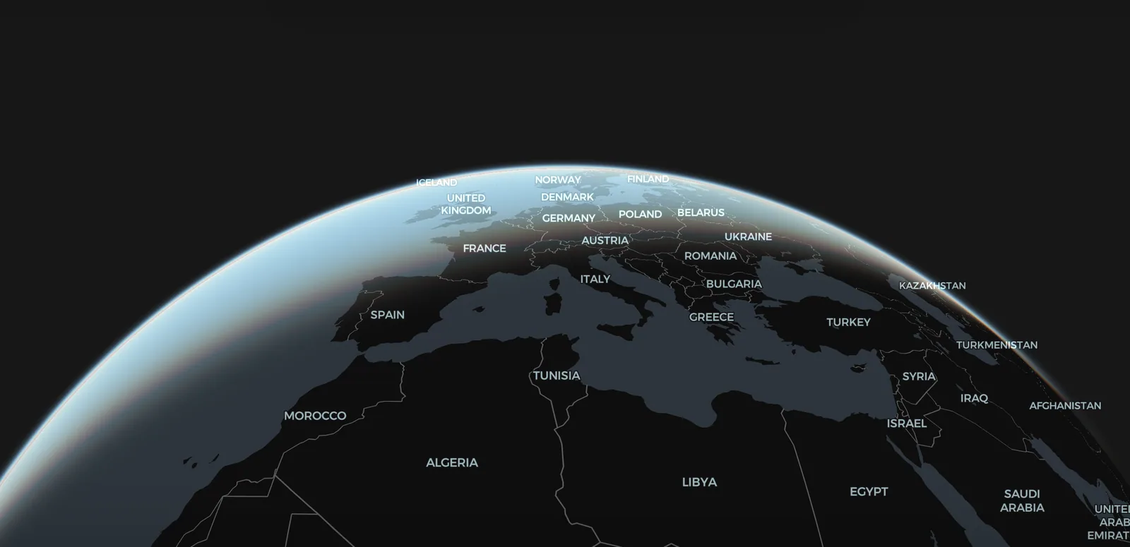
Globe vs Flat Map, Atmosphere, and Labels
5 min read
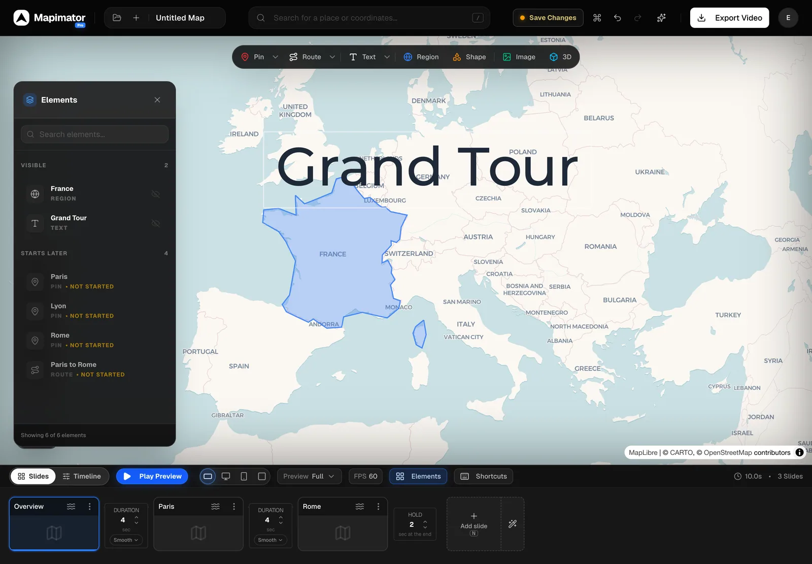
How to Manage Elements (Layers) in the Studio
5 min read
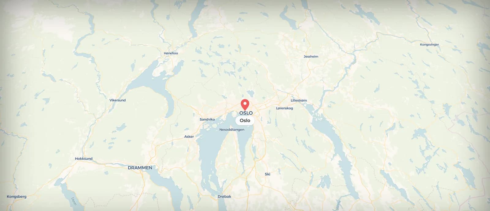
How to Build a Map Animation with the AI Director
5 min read
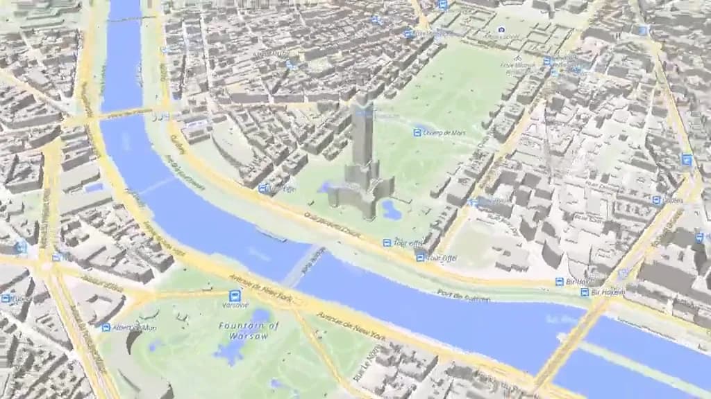
How to Add Orbit, Sweep and Overhead Camera Moves
4 min read
Getting Started
Learn the basics of Mapimator and create your first animation project.
Animations & Motion
Master camera paths, route drawing, and smooth transitions.
Map Styles & Layers
Customize your map themes, highlight countries, and manage layers.
Working with Data
Import markers, GeoJSON, and other geographic data into your scenes.
Export & Formats
Understand render settings, quality options, and licensing.
Account & Billing
Manage your subscription, team seats, and invoices.
Common Questions
Quick answers to the most frequent inquiries.
How do I remove the watermark?
Upgrade to a Pro or Agency plan to export videos without the Mapimator watermark. Free plan exports always include a small watermark in the corner. You can upgrade from the Pricing page — it takes effect immediately on your next export.
What video formats can I export?
Open Export Video in the header and pick a Format: Mobile (9:16) for Reels, TikTok and YouTube Shorts, Web (16:9) for YouTube and presentations, or Square (1:1) for feeds. Then choose MP4 or GIF, a Resolution and a Frame Rate (30 or 60 FPS). Free accounts export at 480P and 30 FPS with a watermark; Pro unlocks 720P, 1080P, 4K and 60 FPS.
Why does my export have gray or blurry areas?
Gray tiles usually mean the prewarming phase was cut short — typically because of a slow internet connection. Try exporting again on a stable connection. If the issue persists, switching to a lighter map style like Voyager or Positron requires far fewer tiles to load and will resolve most tile-loading problems.
How long does rendering take?
Rendering runs in your browser, so the time depends on animation length, map style, your computer and your connection (map tiles are fetched live). Short clips can finish in well under a minute; long satellite animations take longer. The export screen shows live progress: Prewarming Map first, then Rendering Frames, and you can cancel at any point.
Can I use Mapimator for commercial YouTube videos?
Yes. Pro and Agency plans include a commercial license that covers monetized YouTube videos, client work, and branded content. Free plan exports are for personal, non-commercial use only.
Does Mapimator support 3D buildings and terrain?
Yes. For mountains and valleys, open the map controls (the style thumbnail at the bottom left of the map) and click 3D Terrain under View: the ground gets real height on every map style, and pins, routes and vehicles sit on it. Then drag the Tilt slider on the left of the map (or right-drag or Ctrl-drag on the map) to pitch the camera. For buildings, use the Terrain style and zoom in to street level: it draws 3D buildings when tilted (the other styles don't have buildings). Tilt is saved with each slide, and 3D Terrain is saved with the project.
Can I draw a route that follows real roads?
Yes. Add a Route from the toolbar and set its travel mode to Car (Moto, Bike and Walk also follow real paths). Mapimator fetches real road geometry from the OSRM routing engine, and dragging either handle to a new spot re-routes it. For remote areas, use Direct (straight line) or Air (flight arc) instead. Read the full guide: How to Draw a Driving Route on an Animated Map.
How do I highlight a specific country or US state?
Use Magic in the toolbar (Pro). Hover a country and it tints purple with its name; click it and choose Country Level in the Add Region menu. Zoom in past about zoom 4 and the same click selects states and provinces instead. Without Pro, the Region tool opens a Highlight Region dialog where you pick countries and groups from a list.
Can I add my own logo or image to the map?
Yes. Click the Image tool in the toolbar and upload a PNG or JPG from your computer. It is placed at the current map center, anchored to that coordinate, and you can resize and reposition it afterwards. Large images are scaled down to 2048px. Animated GIFs up to 4 MB stay animated; bigger GIFs become still images. See the guide: Add Text, Images and Animated GIFs to Your Map.
How do I import my own paths or boundaries?
GeoJSON, KML and GPX files can all be uploaded. For a path, add a Route, set its travel mode to File and upload the file. For a boundary, use a Region's upload option. For many points at once, the Import button in the toolbar takes GeoJSON points or a CSV and turns them into pins. File uploads are a Pro feature.
Can I import a GPX file from Strava, Garmin, or Komoot?
Yes. Export the .gpx file from your app, then either choose Animate a GPS Track on the start screen (it builds the whole animation, stops included) or add a Route, set its travel mode to File and upload the file. The importer reads recorded tracks, planned routes and waypoint exports, and also accepts KML and GeoJSON. Very long tracks are simplified to 2,000 points. Track import requires a Pro plan.
What is 'Retake Slide' and when should I use it?
Retake Slide overwrites a slide's stored camera position with wherever the map is right now. Move the map to the angle, zoom and tilt you want, then open the slide's three-dot menu and click Retake Slide (use current camera), or press the blue Update Slide button that appears at the bottom of the map after you move the camera. Use it to re-frame a shot without creating a new slide.
How do I change the speed of the camera movement?
Between two slide cards there is a Duration box: type how many seconds the camera takes to travel from one slide to the next (0.1 to 20). To change how the move accelerates, click the small easing pill under the Duration box, which reads Smooth to begin with, and pick Smooth, Linear, Late brake or Elastic. See the guide: Set Camera Speed and Easing.
The Studio is slow — how do I speed it up?
Switch to a lightweight map style like Light or Dark while editing, since Satellite loads far more imagery. Switch back to Satellite when you are ready to export. Closing other browser tabs also helps, especially on machines with limited RAM.
Can multiple people share one Mapimator account?
Don't share login credentials — the Agency plan is designed for multi-user access. It includes 5 seats: invite teammates from your account page and each member gets their own login under your shared subscription, with pooled export limits and AI credits. See the guide: How to Invite Your Team or Video Editor.
How do I invite my video editor or a teammate?
On the Agency plan, open your account page and create your team, then type your teammate's email and click Invite — a private link is copied to your clipboard. Send it to them; they sign in with their own Google account and click Join team. They immediately see all the workspace's projects. Links are single-use and expire after 14 days.
What can team members see and do?
Everyone on a team works in one shared workspace: all members can open and edit every project in it, and exports and AI Director credits are pooled from the owner's Agency allowance (300 exports and 150 credits per month). Only a project's creator can delete it, and only the team owner can invite or remove members.
Why is a country border or region shown incorrectly?
Map data is sourced from OpenStreetMap and MapLibre, which reflect internationally recognized borders. Disputed territories or recent changes may not always be up to date. If you notice a specific error, contact our support team and we will investigate.
Is there an AI tool to generate animations automatically?
Yes. On a new project, type into the AI Director bar at the bottom of the map; on an existing one, open the sparkles menu in the header and choose AI Director. Describe your animation in plain language (for example, a road trip from Oslo to Bergen) and press Enter. The AI builds the slides, pins and routes, and you can edit all of it afterwards. Each generation uses one credit: free accounts get 3 one-time credits to try it, Pro includes 50 a month and Agency 150. See the guide: Make a Map Animation with the AI Director.
Still need help?
Our support squad is ready to help you with anything related to your map animations.